
Browse Items (46 total)
- Collection: Davidson College Map Collection
Sort by:
DC0300s-DC-019

Blueprint style map with black background and white lettering showing topography of campus with buildings identified.
DC0300s-DC-020

Map of central portion of college campus.
DC0300s-DC-021

Map of central portion of college campus, does not include the president' s house.
DC0300s-DC004

One-sided map of campus in 1995.
DC0300s-DC007

Grid map of college campus showing topography and placement of tree varieties.
DC0300s-IR-002

Highway map of Iredell County, NC.
DC0300s-LN-001
Map showing shoreline of Lake Norman near Highway 21 south of Mt. Mourne.
DC0300s-LN-002

Map showing public access areas provided by Duke Power Company
DC0300s-LN-003-1

Map of Lake Norman with chart of recreational facilities available. Map is two-sided.
DC0300s-LN-003-2
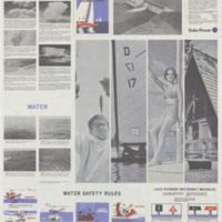
Backside of map of lake with photographs and water safety rules.
DC0300s-LN-005-1

One side of two-sided map. This side shows Lake Norman in detail.
DC0300s-LN-005-2

Back side of two-sided map with detailed map of Mecklenburg County and a chart of recreational facilities of the lake region. County map shows only the lower portion of Lake Norman.
DC0300s-LN-006

Poster of Lake Norman with graphics of buildings and recreational activities -- boats, hot air balloons. Many of the buildings are identified with names of local businesses.
DC0300s-LN-007-1

Back side of a two-sided map. This side has color images of the lake, drawings of fish in the lake, and text with water safety reminders and descriptions of local power plants.
DC0300s-LN-007-2
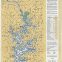
Color map of Lake Norman and surrounding area. Includes a chart of recreational facilities available on Lake Norman.
DC0300s-LN-008
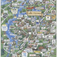
Color poster of the lake with drawings of businesses that include addresses and contact information.
DC0300s-LN-009-1

Side one of a two-sided map. This side shows the topography of the lake based on an aerial survey dated August 1958. It also includes area roads and railway lines.
DC0300s-LN-009-2

Back side of a two-sided map. This side shows lake bed topography and the roads on the northern portion of the lake including Catawba, Lincoln and Iredell counties
DC0300s-MC-015

Road map of Mecklenburg County, NC with street name index.
Dc0300s-MC-016
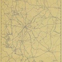
Map of Mecklenburg County showing Catawba River and parts of Union, Cabarrus, and Lincoln counties.